I hadn’t realised Bryce Canyon was as high as it is, so I was somewhat caught out by the drop in temperatures as I climbed up from the valley where I had my overnight stop. As I entered Bryce Canyon National Park, the two ladies in the booths that check you pass or collect your money were amazed that anyone would want to visit the park this early on a cold day on a motorbike. “It was cold earlier” one said, “but it has warmed up now to 32 degrees” she chuckled. “I admire your fortitude” she continued. “More like thritytude” added the other and the three of us roared with laughter. I great way to start the day!
I took off my gloves, fumbled for my pass and was grateful for the minute of so I could warm my hands directly on the piping hot heated grips.
Once into the park, I was given an early glimpse of what was to come....

Bryce Canyon doesn’t seem like a canyon. It is more of a plateau where the whole side has been worn away by the weather and lots of time. The main road runs along the top of the plateau and takes you 18 miles into the park and then you turn around and use the same road to go back out. The road leads you to a series of overlooks, mainly facing east, where you can gaze down upon the wonderful ways the sandstone has been worn away to reveal some strange rock formations.
The first overlook is appropriately called Sunrise Point and I loved the way I was above the clouds....

It was actually quite hard to get this picture as I had to find somewhere that wasn’t directly facing the sun and that meant walking quite a distance. I didn’t mind though as the walk warmed me up a little.
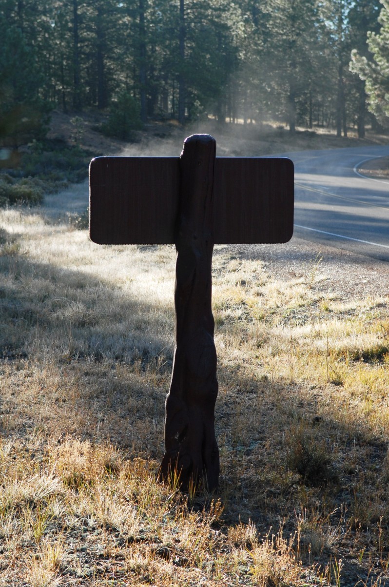
As I was leaving Sunrise Point I noticed the sun was warming this wooden sign and the warmth caused the moisture to rise in the cold air....
I thought the first overlook was pretty good, but I was stunned by the next.... this picture was taken at Inspiration Point....

Wow. I hadn’t expected that! I took many pictures here, and these are just a few of them....

These columns of sandstone are marvellous and it is difficult to take in everything you are looking at. There are so many similar shapes that at first, my eyes darted about all over the place, trying to make sense of the scene before me....


Not only are there columns, but many other shapes as well....


Next I went to Bryce Point, at 8300 feet....


Beautiful, beyond words!
Bryce Point and indeed the whole Bryce Canyon is named after Ebenezer and Mary Bryce. Ebenezer was born in Scotland and left his home at the age of seventeen for Utah. He married Mary in 1854 and they moved to southern Utah in 1862, and Bryce built a Mormon chapel. He dug irrigation trenches to water the crops and they moved to Paria Valley, south of Bryce Canyon. He then constructed a road to the canyon area to make collecting wood easier and where the road ended, it became known as Bryce’s Canyon and the name has remained ever since.
I rode passed this tree and had to turn around to take a picture of it. The yellow set against the blue sky is striking....

This rock formation in this next picture is called Natural Bridge, for obvious reasons....

This is Agua Canyon....


I walked to Yovimpa Point, which is an easy short hike from the main road, to see another superb view....

I know that fellow blogger Geoff James liked one of my previous dead tree pictures, so I thought of him and his 1,000 mile ride as I took this....

Bryce Canyon is a stunning, spectacular place. The northern Arizona / southern Utah area has I think become my favourite region in the US. There are just so many fantastic places to see here!
Soon after leaving Bryce Canyon and after resuming my westward journey, I reached Red Canyon. This isn’t very big and it takes only a few minutes to drive through but it is good all the same....


There are two very short arch tunnels over the road. I thought it unusual that the road builders made these tunnels instead of just dynamiting the rocks out of the way. Not that I mind of course, as they add a lot of interest. This is one of them....

Nearby is Navajo Lake....

As I continued along Utah SR 14, I found something I wasn’t expecting – an old lava flow! I don’t know anything about this, but I am determined to research when it happened etc....


A little further on and the elevation began to rise again. I spotted this snow amongst the trees. It had probably fallen the previous night.... It made me feel colder....

As the road climbed many of the trees had now lost their leaves....

The colour of these leaves was pretty special....

I now had a choice to make. I was heading for Zion National Park and wanted to get there before dark. It was no 3pm and I could get there easily if I took the Interstate, or there was another road I had heard of. There is a partially paved road that runs north south just to the west of Zion called Kolob Reservoir Road and it is about 50 miles long. The trouble was, I didn’t know how much of it was paved and what the condition was of the un-paved section was. I had limited time until it would start to get dark, but I liked the idea of riding this road. I decided I would give it a try. It starts by going uphill very quickly on a paved section. I stopped part way up to take a picture overlooking Cedar City....

Very soon the road was made of gravel. It was a wide road and well compacted, so this was no problem. I was enjoying this....

After about 6 miles, the road narrowed and became a dirt road. Still ok to ride on though. I shared this section with a friendly deer (which is on the right side of the road)....

The road then got worse and turned to a muddy track. I rode this section up the hill....

At the top of the hill I lost my nerve. It was steep going down the other side and most of the width of the track was mud. Not deep mud, but quite slippery. I was now about 10 miles along the road and I didn’t fancy another 40 miles of this, so I turned around at went back. It took a long time to go those 20 miles or so on this road, but it was fun. Much more fun than the Interstate option I now had no choice but to take.
I arrived near to Zion and tried to remember the name of the hotel that one of my readers, James, had recommended. I didn’t want to get my laptop out on the side of the road to look it up, so I carried on riding and as soon as I saw the sign for the Majestic View Lodge, I knew this was the place. I checked in and got to my room just in time to see the sun go down from the balcony....

Well, it is called the Majestic View!
0 comments:
Post a Comment